Autonomous Navigation System Without GPS
We have developed an advanced navigation system for UAVs that operates reliably in GPS-denied environments. Using computer vision, sensor fusion, and machine learning, the system analyzes real-time data to ensure precise positioning and stable flight. Designed for challenging scenarios, the solution is adaptable to both multi-copter and fixed-wing drones, ensuring versatile application across various industries.
Project Rundown
Our advanced navigation system enables unmanned aerial vehicles to operate accurately without relying on GPS signals. By integrating visual odometry with sensor fusion techniques, the system processes real-time data from onboard cameras, inertial measurement units (IMUs), barometers, magnetometers, and gyroscopes. This comprehensive approach ensures precise navigation and control, allowing UAVs to perform critical missions in environments where GPS is unreliable or unavailable.
A key feature of our system is its Failsafe Return capability. In the event of communication loss, the UAV autonomously returns to its launch point, enhancing operational safety and reliability. This function is crucial for preventing potential mishaps in challenging environments.
Additionally, the implementation of Simultaneous Localization and Mapping (SLAM) algorithms facilitates real-time mapping and localization in both indoor and outdoor settings. This capability ensures reliable performance across diverse and complex environments, making our system versatile for a wide range of applications.


Technical Specifications
- Navigation Accuracy: ~1% (approx. 100m over a 10km track)
- Maximum Operating Range: Up to 10 km in GPS-denied zones
- Supported Terrain: Any surface area except large natural bodies of water
- Uncharted Terrain Operation: Fully supported
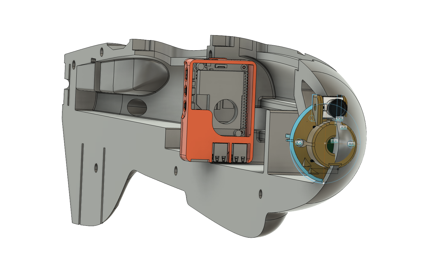
Hardware Overview
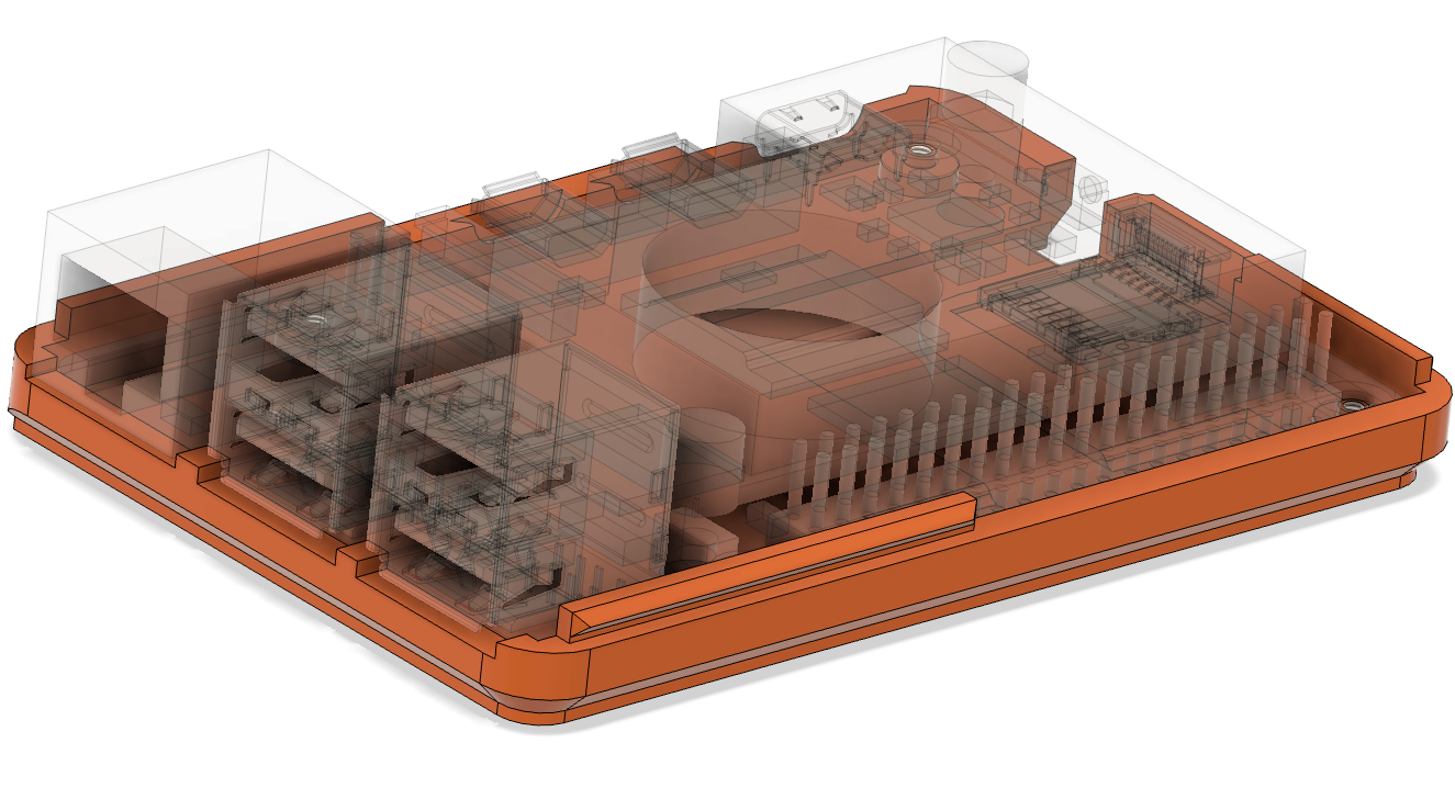
- Sensors: Integrated with flight controller or external high-precision module
- Processing Power: Quad Arm Cortex-A76 2,4 4gb
- Optical Flow: Camera module up to 4mpix
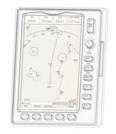
- Interface: Web app designed for setting up maps and uploading data
- Connections: Wireless
Applications
- Disaster Relief: Delivering aid to remote or hazardous areas with precision, even when GPS signals are unavailable.
- Aerial Surveying: Efficiently mapping and identifying specific targets using aerial imagery.
- Defense Operations: Supporting missions in GPS-jammed or hostile environments with reliable and autonomous navigation capabilities.